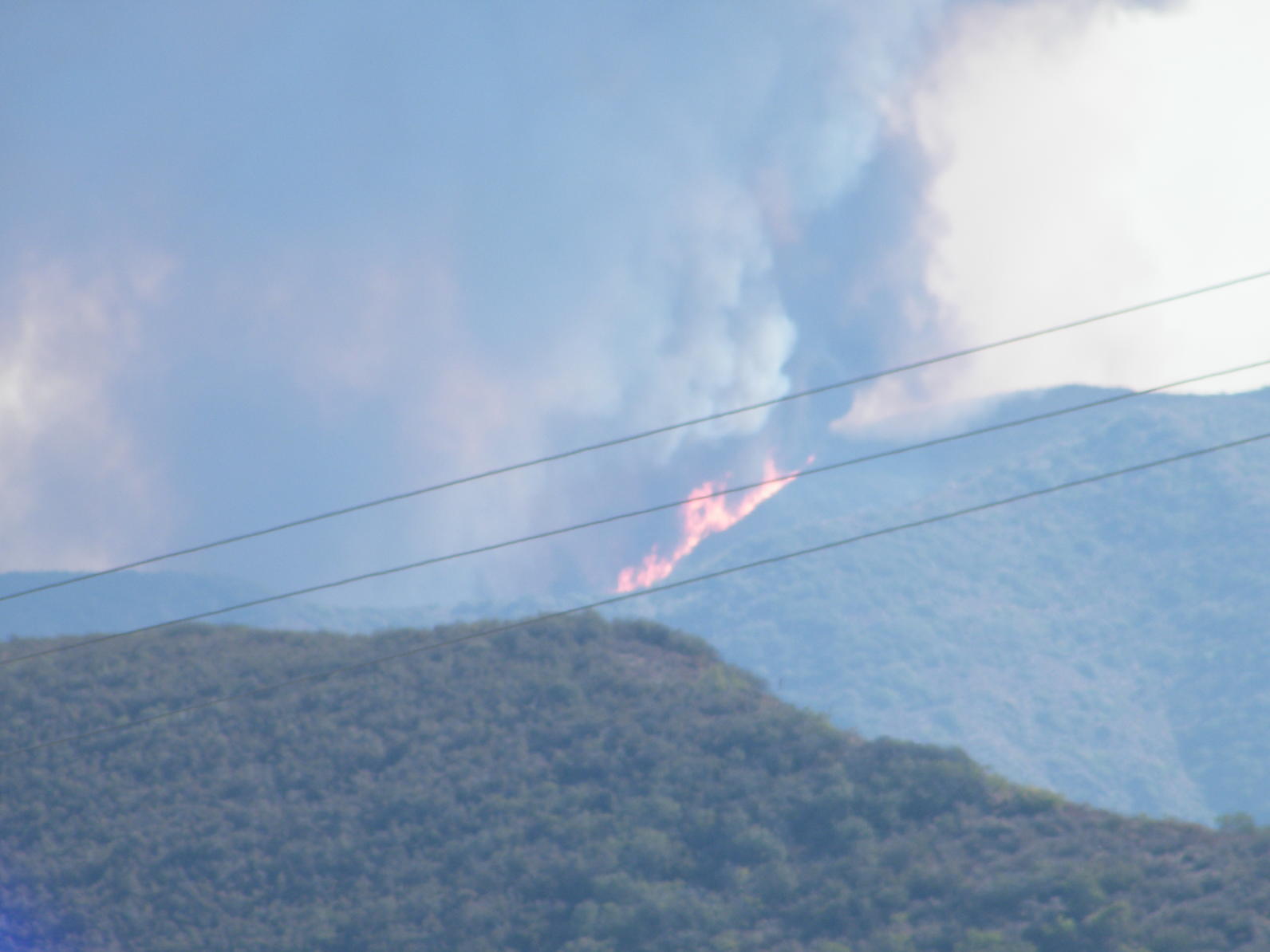
At this point, it's safe to say that 2017 has been California’s worst year of wildfires on record. More than one million acres have burned and more than 40 people have died. Unusually high precipitation during the 2016-17 winter stimulated major vegetation growth, then one of the hottest summers ever left the plant biomass dry and combustible. Research indicates that California’s fire season is getting longer and climate change is most likely a factor. A growing population has pushed residential areas closer to vegetation, increasing the danger to humans.
Additionally, Santa Ana winds, which occur in fall and winter every year, were strongest so far this season in early December. Some of Southern California's worst wildfires have occurred in the period between October and December, when Santa Ana winds blow. Southern California managed to escape major wildfires during the final years of the state's extended five -year drought because the Santa Ana winds didn't blow much. But this year is different.
Meteorologists predicted an above-average number of Santa Ana wind days this fall and winter, and they’ve been proven right. There were 14 Santa Ana days – more than twice the norm – in October alone. That’s when the Canyon 2 fire in Orange County burned dozens of buildings. December typically brings ten Santa Ana wind days and by the end of the December 4 week, Southern California will already have been hit by six of them. As we’re seeing with the fires currently raging in Ventura and Los Angeles counties, fires in wind prone areas are very difficult to control.
Firefighters concentrate on defending structures and people. Though fire officials often say wildfires are tougher to fight in dense shrublands that haven't burned in decades, wind-driven fires ignore the boundaries of old burns. The winds appear to be ramping up this year because sea surface temperatures in the equatorial Pacific Ocean have cooled, influencing weather patterns conducive to Santa Ana winds. The cooler sea temperatures can cause high pressure systems that push storms to the north and then down into the Great Basin east of California. The air in the higher-elevation interior is colder than at the coast, creating a pressure gradient that pulls air masses west. As they blow downslope to the coastal areas, they pick up speed, and dry out. Sometimes the winds blow hot, but sometimes they’re actually cool, which is what we’re seeing now in Los Angeles. It doesn’t make a difference, though, hot or cool winds will drive fire.
Audubon’s Starr Ranch Sanctuary in southeast Orange County has built a network of partnerships with the county fire authority, fellow preserve managers, and neighbors to keep people, homes, and some of the last pristine and long unburned vegetation left in SoCal safe from fire. Though our native shrublands are adapted to fire, the current threat of repeated fires over short intervals can convert native wildlands to weedy landscapes.
By Sandy DeSimone
Monthly Giving
Our monthly giving program offers the peace of mind that you’re doing your part every day.


