Birding Trail Maps
We would like to offer our help in creating online birding trail maps for any interested chapters. These maps can be a great way for people to “virtually visit” an area, and it could help your chapter get the public excited about birds in your region.
An example map is the San Joaquin Birding Trail map.
We have developed a template for you to use. We ask that you please provide the content in this template and our GIS gurus will create the online map and show your webmaster how to display it on your website. The “README” tab has information on using the template, the second tab has the template itself, and the third tab is an example template. The example corresponds to the first few birding sites in the San Joaquin Birding Trail example map.
The basic cost, assuming your chapter provides the content using the template, is $750. Extra costs will be incurred if your chapter would like to incorporate any add-ons into your map. These are described in the “README” tab of the attached file.
Please contact your Chapter Network Manager if you have any questions.
Monthly Giving
Our monthly giving program offers the peace of mind that you’re doing your part every day.
How you can help, right now
Get Audubon CA in Your Inbox
Our newsletter is fun way to get our latest stories and important conservation updates from across the state.

Donate to Audubon
Help secure the future for birds at risk from climate change, habitat loss and other threats. Your support will power our science, education, advocacy and on-the-ground conservation efforts.
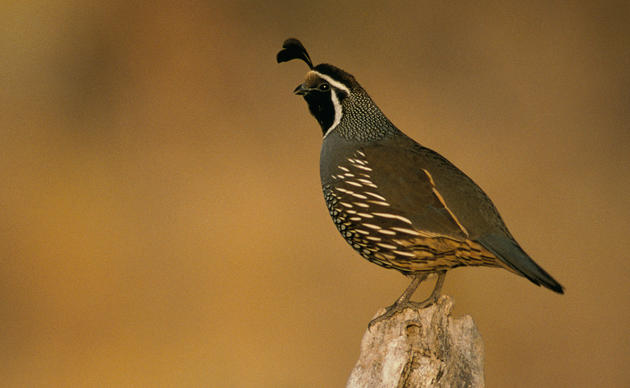
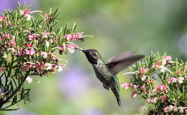
HOTSPOT: Flyover of California's Birds and Biodiversity
California is a global biodiversity hotspots, with one of the greatest concentrations of living species on Earth.