Guest post by Katie Krieger, GIS Analyst, Important Bird Areas
Audubon California has created an interactive map tool to shed light on risks to Burrowing Owls and help illuminate possible conservation solutions. The tool consolidates Burrowing Owl survey observations (both individual owls and burrows) from the past decade in the Imperial Valley. To help researchers understand what factors might be driving owls to choose these locations, the map also displays renewable energy projects, crop types, irrigation canals and drains, and much more.
Just south of the Salton Sea lies the Imperial Valley, a globally significant Important Bird Area and home to about 70% of the state’s breeding Burrowing Owls, or about 4,000 pairs. This quirky and easily recognizable species weighs about the same as an apple… or an Apple iPhone 6 Plus! True to its name, Burrowing Owls use burrows as nests.
The population of this small bird has been in sharp decline over the last 50 years, and it is now designated as a California Bird Species of Special Concern by the California Department of Fish & Wildlife. No one factor has been implicated in its decline, but human activities have had a substantial impact. A long tradition of farming and the more recent development of renewable energy in the region both pose risks to this bird’s habitat.
Audubon California set out to better understand these risks and identify possible solutions. In the first analysis of this kind, synthesizing data across surveys, Audubon California observed that Burrowing Owls are found in highest densities in or near low intensity developed land uses (such as irrigation canals and drains) and open space developed land uses (such as parks and lawns), as well as crops like rye, citrus, and miscellaneous vegetables and fruits. Land uses with the lowest densities of owls include, perhaps not surprisingly, barren land and fallow or idle cropland, as well as crops like sugarbeets, durum wheat, and onions.
This information can help guide conservation actions. Lands with high densities of owls are prime candidates for potential conservation or mitigation lands. Those with low densities of owls are, conversely, ideal locations for the development of alternative land uses like renewable energy.
By making the map publicly available, Audubon hopes that other stakeholders in the region can use this information to answer their own questions about how Burrowing Owls are using this important landscape.
Audubon would like to thank the Imperial Valley Community Foundation, whose support made this work possible.
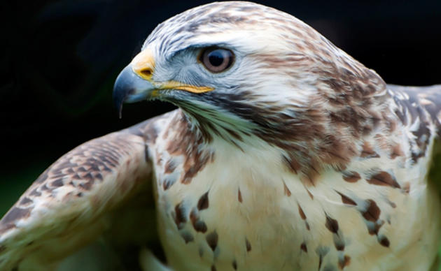
Photos by Len Blumin and Sandrine Biziaux-Scherson.


